Note
Go to the end to download the full example code.
Spilhaus projection
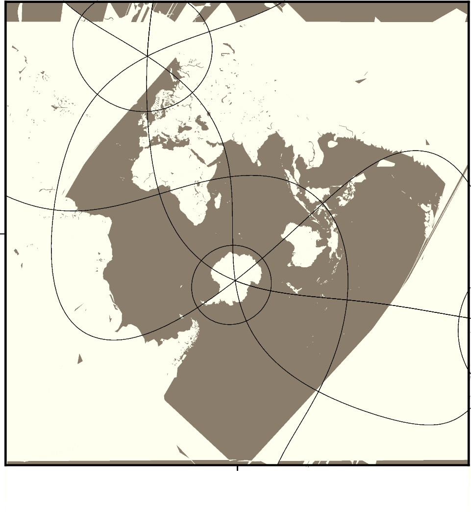
The Spilhaus projection is a world map projection that presents the world’s oceans as one contiguous body of water, with Antarctica at the top. It was developed by Athelstan Spilhaus and is useful for oceanographic studies.
+proj=spilhaus+width=width
The projection is set as a PROJ string with +proj=spilhaus and the figure
size is set with width.
Note
This projection works well for coastlines but currently has issues for filling land and water masses.
Total running time of the script: (0 minutes 0.255 seconds)